Webmapper
Webmapper maakt interactieve kaarten en datavisualisaties met open
Webmapper creates interactive maps and data visualizations with open source software. They combine cartography, web technology and geo-information to provide insight into spatial issues. Civity and Webmapper work together on projects in which geo-information plays an important role.
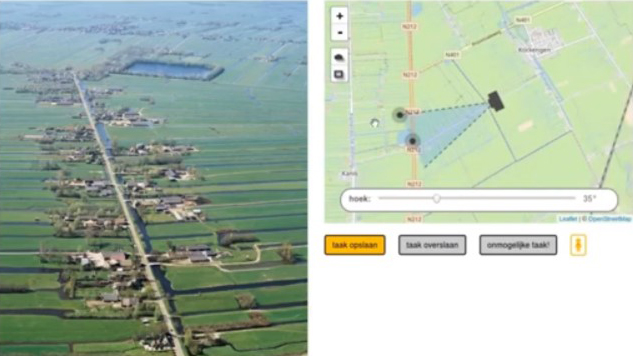
A recent collaborative project is Utrecht in Vogelvlucht. For Utrecht in Vogelvlucht, Civity provides access to more than 2,000 aerial photographs of the province of Utrecht on Dataplatform. Webmapper uses these aerial photos to create a map that ‘flies’ over the province of Utrecht, as it were.